Plan your trip

Algeria, place by place

Seven World Heritage Sites, twelve more waiting, thirteen living traditions on UNESCO’s lists, and a Sahara larger than Western Europe. This is the country we work in, written down properly — what each place is and why it matters.

We cover Algeria corner to corner. The itineraries on this site are examples, not a menu — every place on this page can be built into a trip, and so can anywhere else in the country you ask for.

What exists here and nowhere else

2,381,741km² The largest country in Africa Tenth largest on earth. Bigger than Western Europe, and most of it is Sahara.
15,000+ Rock engravings and paintings in the Tassili Over 72,000 km², spanning ten thousand years. UNESCO calls it one of the most important groupings of prehistoric art in the world.
930 Foggaras still carrying water More than 2,000 km of galleries dug by hand beneath the desert, and still shared out by a man with a stone comb.
1 Oasis on earth where the Sebeïba is danced Djanet. Nowhere else, and not for visitors — it simply happens, and you can be there.
5 Towns of the M’Zab, built 1012–1350 Still lived in as designed, and still being studied by architects a thousand years on.
7 UNESCO World Heritage Sites And twelve more on the tentative list since 2025. All of them can be built into a trip.
UNESCO World Heritage

The seven

Algeria has seven sites on the World Heritage List. Five already sit on our example itineraries; the other two we build into a private trip whenever someone asks.

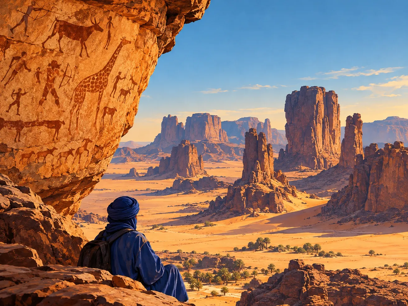
Tassili n'AjjerAI illustration
Djanet · Illizi & Tamanrasset · Inscribed 1982

Tassili n'Ajjer

A sandstone plateau the size of Ireland, carrying one of the greatest concentrations of prehistoric rock art on earth.

UNESCO counts more than 15,000 engravings and paintings across 72,000 square kilometres, running from around 10,000 BC to the first centuries AD. They record a Sahara that was grassland: elephant, hippopotamus, rhinoceros, giraffe, herds of cattle, and the people who lived among them. The rock itself is the other half of it — wind has cut the sandstone into what UNESCO calls forests of rock.

We go here on Djanet Comfort Camp →
The M'Zab ValleyAI illustration
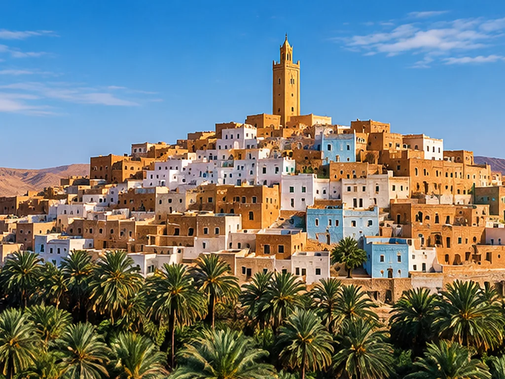
Ghardaïa · Inscribed 1982

The M'Zab Valley

Five fortified towns built between 1012 and 1350, still lived in exactly as they were designed.

El-Atteuf, Bounoura, Melika, Ghardaïa and Beni Isguen. Each house is a cube of the same standard type — UNESCO reads that as the architecture of an egalitarian society. Each town has a fortified mosque that doubles as its last redoubt, with an arsenal and a grain store inside. It has shaped Arab town-planning for nearly a thousand years, and it reached the twentieth century too: Le Corbusier and Fernand Pouillon both came here to look.

We go here on Mzab & Djanet Trip →
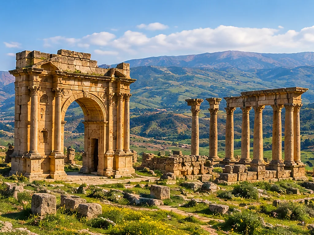
DjémilaAI illustration
Sétif · Inscribed 1982

Djémila

A Roman city laid out along a mountain ridge at 900 metres, among the best preserved in North Africa.

Founded in the late first century as Cuicul. What makes it unusual is that the Romans did not impose their standard grid here — they bent the plan to the ridge. Forum, temples, basilicas, a theatre cut into the slope, and a museum of mosaics lifted from the houses around it.

We go here on Algeria Road Trip →
TimgadAI illustration
Batna · the Aurès · Inscribed 1982

Timgad

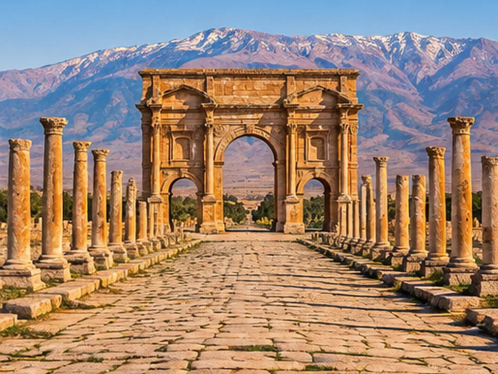
A Roman colony founded by Trajan in the year 100, set out on a perfect grid.

Timgad is what a Roman military city looked like when it was drawn from nothing on flat ground: two main streets crossing at right angles, everything else square to them. It was abandoned, buried by sand, and so survived more or less whole. UNESCO lists it as a model of Roman town-planning.

We go here on Algeria Road Trip →
TipasaAI illustration
Tipaza · the Mediterranean coast · Inscribed 1982

Tipasa

A Punic trading post that became a Roman town, standing on the shore an hour west of Algiers.

Phoenician first, then Roman, then early Christian — the site holds all three, with a necropolis and basilicas right on the water. It was on the List of World Heritage in Danger from 2002 to 2006, and came off it.

We go here on Mzab & Djanet Trip →
The Kasbah of AlgiersAI illustration
Algiers · Inscribed 1992

The Kasbah of Algiers

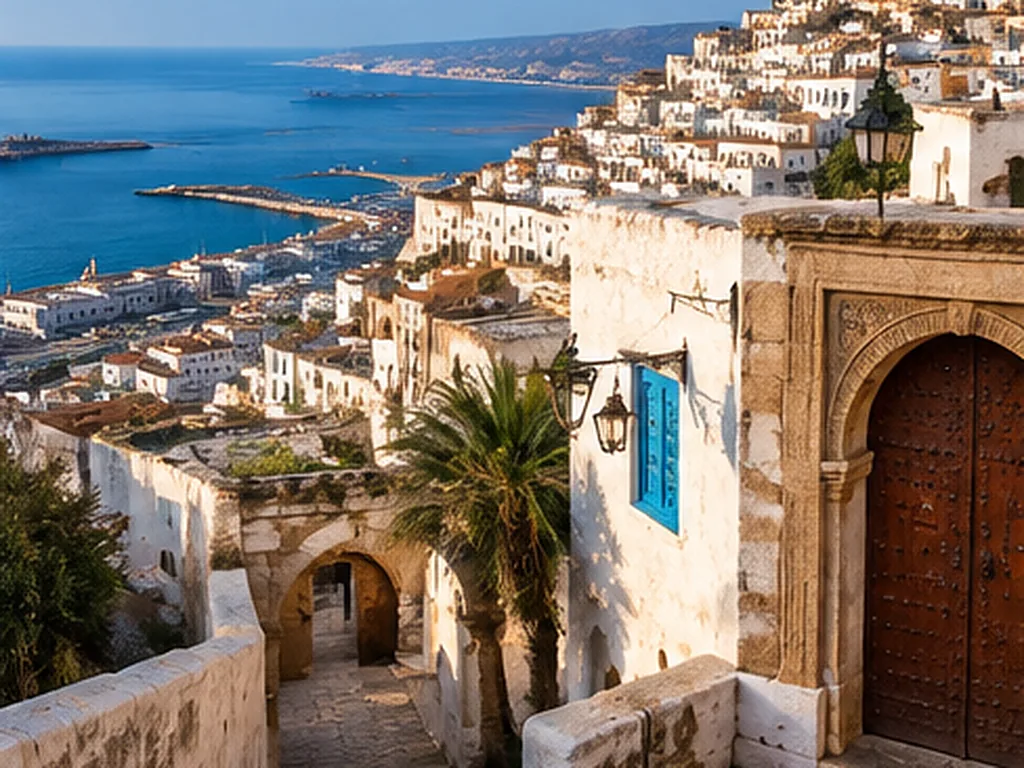
A fortified Ottoman city dropped down a hillside above the bay, and still a neighbourhood people live in.

Citadel, old mosques, Ottoman palaces, and a street plan that is really a staircase — the Kasbah falls from the fort to the sea in one tangle of steps and vaulted passages. UNESCO reads it as one of the finest coastal sites on the Mediterranean.

We go here on Mzab & Djanet Trip →
Al Qal'a of Beni HammadAI illustration
M'Sila · 1,000 m in the Hodna mountains · Inscribed 1980

Al Qal'a of Beni Hammad

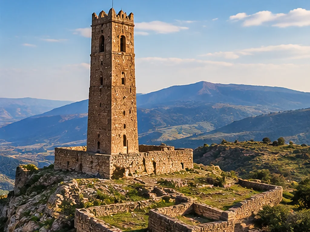
The first site Algeria had inscribed, in 1980 — a fortified Hammadid capital, abandoned and never built over.

Founded in 1007 as a stronghold and become a capital. Its mosque has one of the largest prayer halls in Algeria — second only to Mansourah at Tlemcen — and the minaret still stands. Because nothing was built on top of it, it is a complete picture of a fortified Muslim city of its period. It is not on one of our example itineraries — we build it as a private trip whenever someone asks.

Not on an example trip — we’ll build it →
The tentative list

Twelve more, waiting

In 2025 Algeria put twelve further sites forward for World Heritage. Seven already sit on our example itineraries. The rest we build on request — the same as anywhere else in Algeria.

Everyday Algeria

Between the monuments

How people dress, dance and eat, and how you cross the desert — the Algeria you live rather than visit.

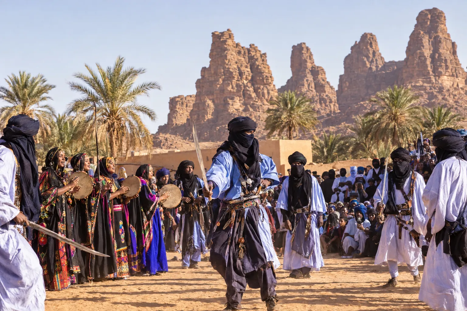
Illustration: Tuareg men dancing with swords while women drum and sing, below the sandstone peaks of DjanetAI illustration

The Sebeïba of Djanet

Sword dance and women’s drums, once a year, in one oasis on earth.

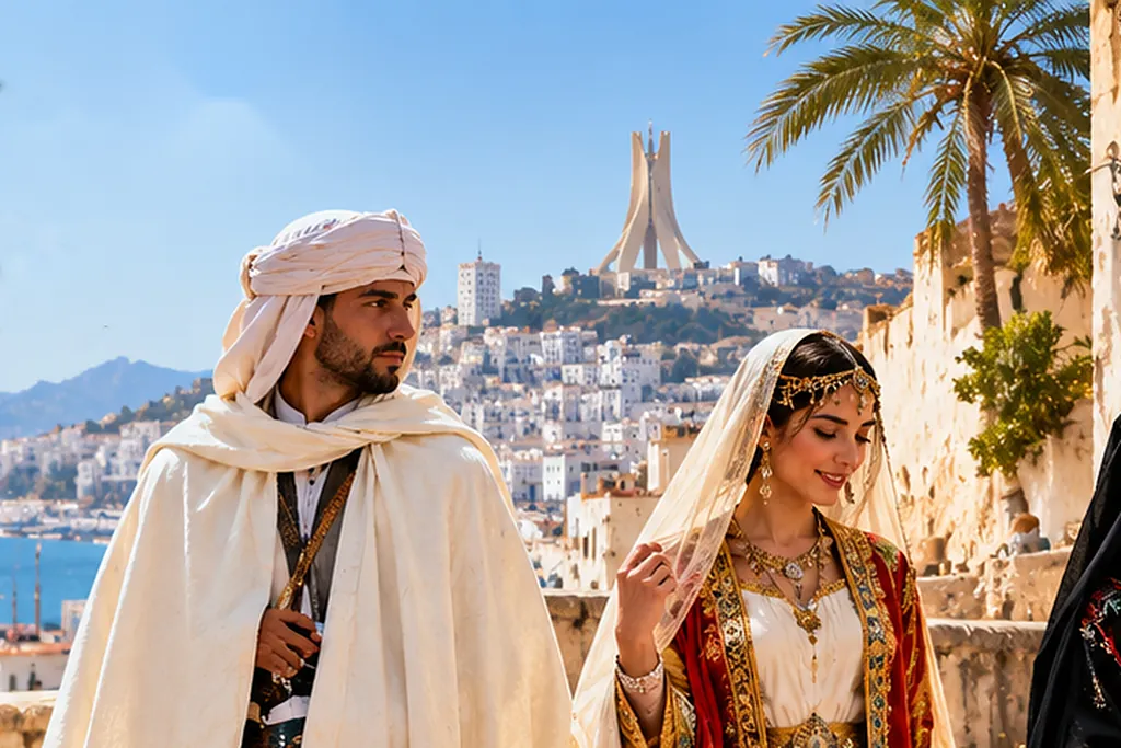
Illustration: a man in a white burnous and turban and a woman in a white dress with an embroidered red jacket, above the bay of AlgiersAI illustration

Traditional dress

Every region has its own, and two are on UNESCO’s list.

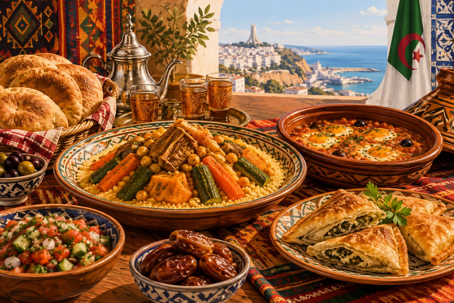
Illustration: couscous with vegetables, chakchouka, pastries, dates and mint tea on a table above the bay of AlgiersAI illustration

The table

Couscous — on UNESCO’s list since 2020 — with chakchouka, dates and mint tea.

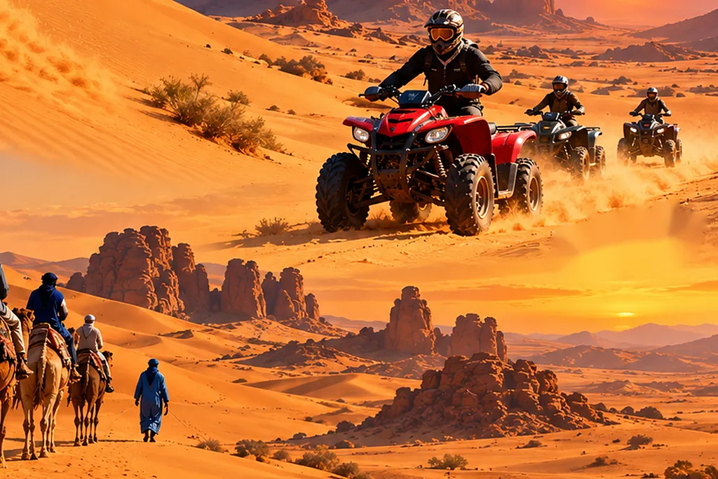
Illustration: a camel caravan and quad bikes crossing the dunes towards sandstone rocks at sunsetAI illustration

The Sahara by camel or quad

Camel rides, quads and buggies are optional on the desert days of every trip.

Living heritage

Thirteen things people still do

UNESCO lists practice as well as ruins. Five of these happen in places our example itineraries already pass — not staged for anyone, they simply happen. The others we can build a trip around.

Where we go most often

Nine we are asked for most

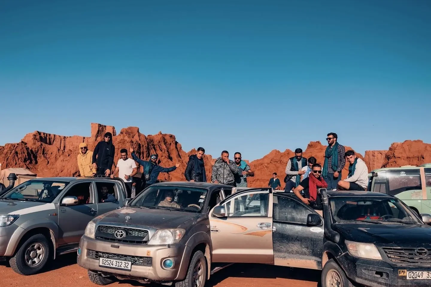
Tourago travellers on their 4x4s among the red rock of the Tadrart, near Djanet
Deep Sahara

Djanet & Tassili n'Ajjer

Dunes, natural arches, canyon walls, and some of the oldest rock art on earth.

See itinerary
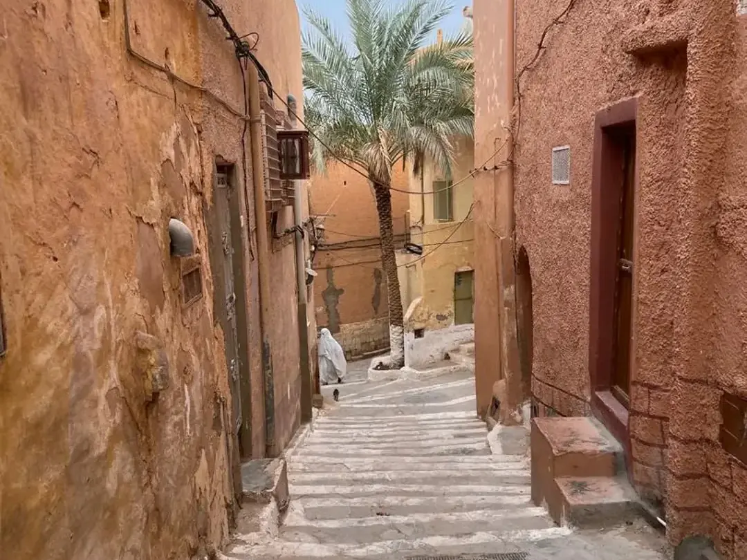
A stepped lane between ochre walls in the M'Zab Valley, a woman in a white haïk walking below a date palm
Northern Sahara

Ghardaïa & the M'Zab Valley

Five fortified UNESCO-listed towns, still lived in the way they were built.

See itinerary
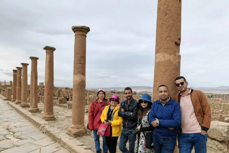
A Tourago group among the columns of the main street at Roman Timgad
East

Timgad & the Aurès

A Roman city laid out on a grid, and mountain towns beyond it.

See itinerary
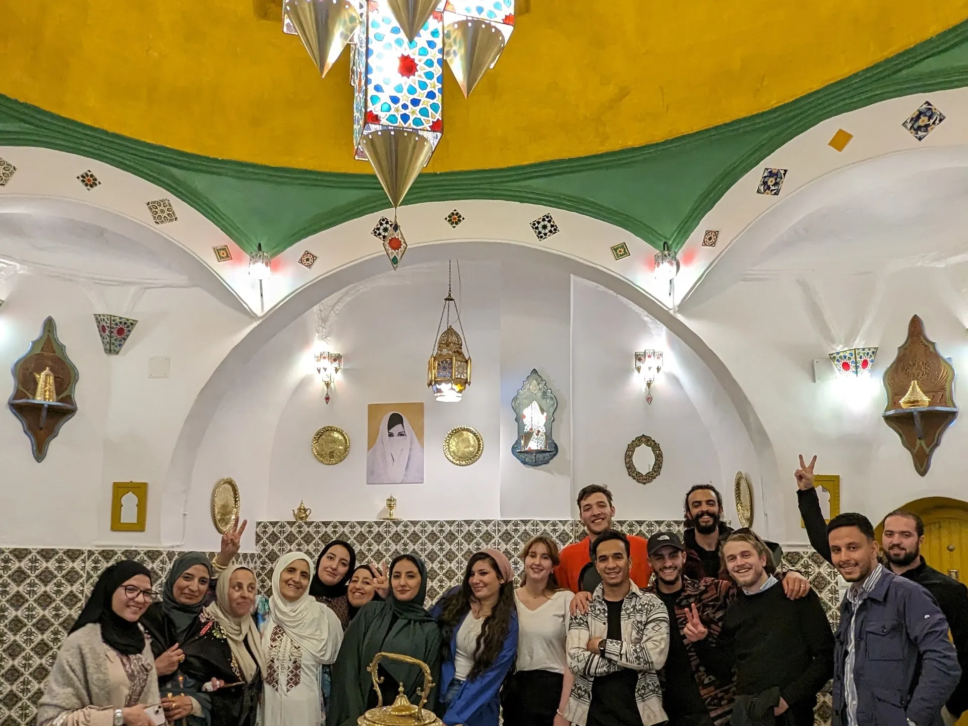
A Tourago group inside a restored domed room in the Casbah of Algiers
Coast

Algiers & the Casbah

The capital's old quarters, the Ottoman houses of the Casbah, and Roman Tipaza along the shore.

See itinerary
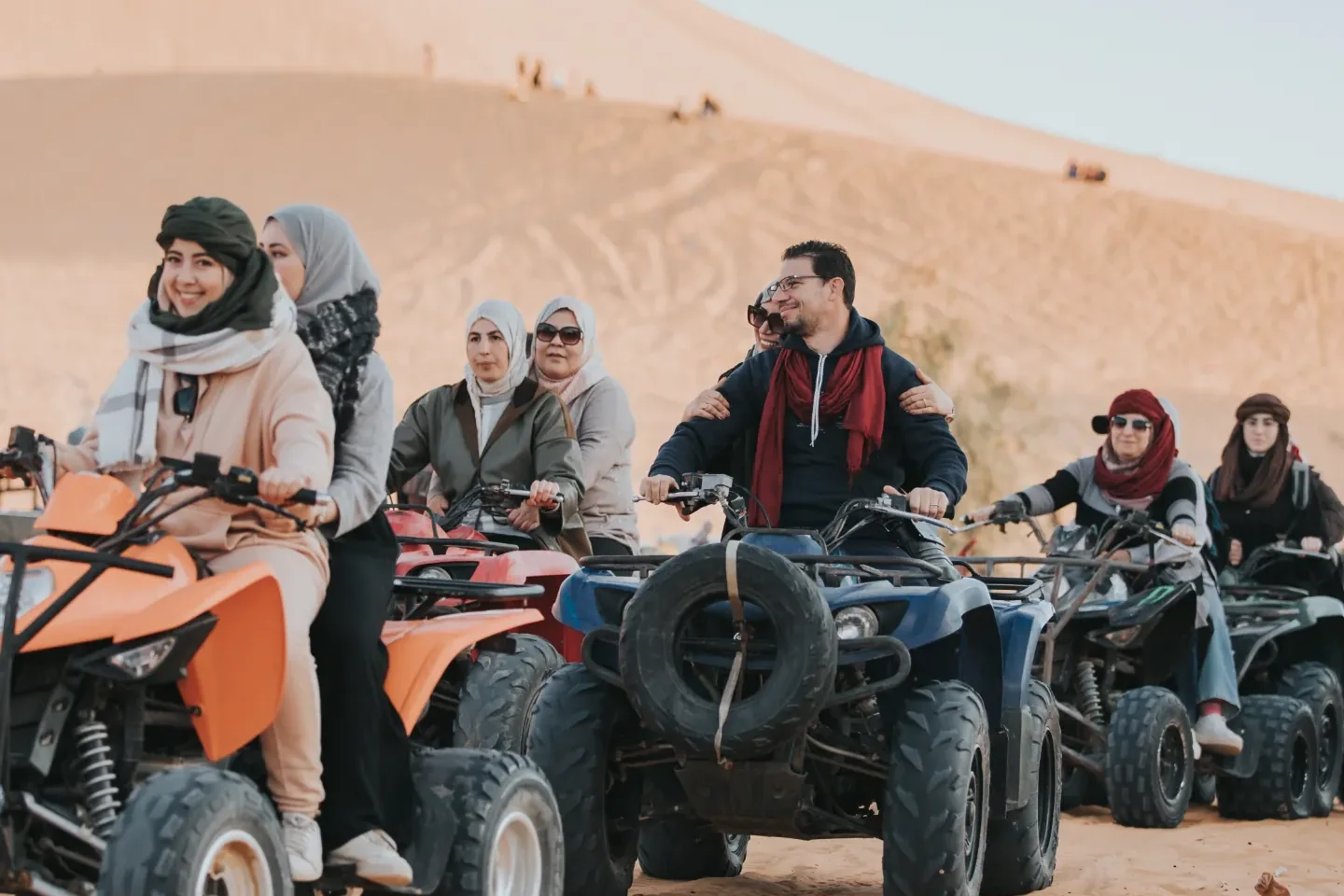
Travellers on quad bikes at the foot of the dunes at Taghit
Western Sahara

Taghit & the Saoura

Palm groves, red ksars and the dunes of the Saoura valley.

See itinerary
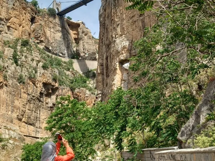
A traveller photographing the Rhumel gorge at Constantine
East

Constantine

A city built across a gorge, joined by dramatic suspension bridges.

See itinerary
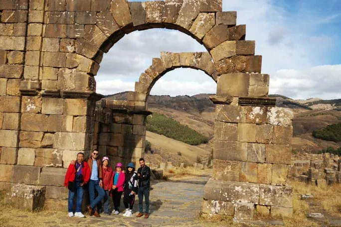
A Tourago group in front of the Arch of Caracalla at Djemila
East

Djemila

A Roman city laid out across a mountain ridge, among the best-preserved in North Africa.

See itinerary
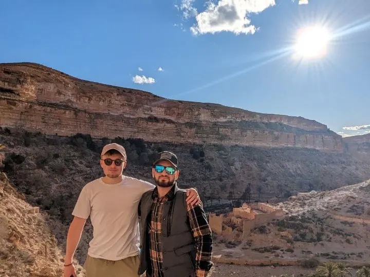
Two travellers on the path above the Ghoufi canyon in the Aurès mountains
Aurès

Ghoufi Canyon

A deep canyon in the Aurès mountains, with ksars built into the cliff face above a palm-grove floor.

Plan a trip here
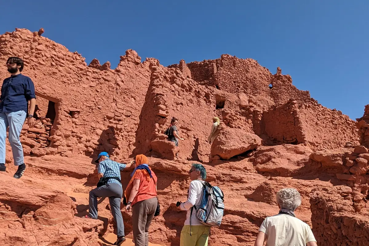
Travellers climbing the red earth walls of the old ksar at Timimoun
Western Sahara

Timimoun & the Gourara

Red-earth ksars on the edge of the Grand Erg, and the foggara channels that keep the palm groves alive.

See itinerary

Build a trip around it

Tell us your travel period and which of these you care about. We'll put an itinerary together and price it.

Plan your trip